
The meter stick gives a good indication how deep the rain penetrated the
dunes |
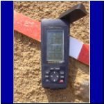
Closeup view of the GPS location of the "majlis" |
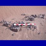
Some of the "Henderson" era debris that litters the site; these
appear to be cases of small tins of tomato paste |
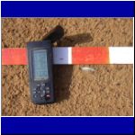
Glass bracelet in situ with GPS coordinates |
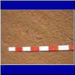
Some of the fresh gazelle tracks showing size and length of stride |

A small copper (bronze?) ring found at the site; the inscription indicated
the ring was from a city in Saudi Arabia |
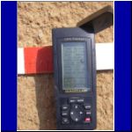
Closeup of the GPS coordinates for the ring |
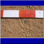
Ring alone in situ; the ring is now part of the collection at the Al Ain
Museum |

Helene getting serious about her photography! |

Coin in situ with meter stick and GPS coordinates |
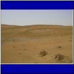
Evidence of the amount of rainfall; moisture caused part of dune to collapse
under weight of rainfall |
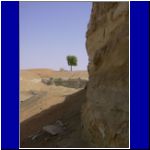
View in the quarry where there is evidence of wells and perhaps aflaj |
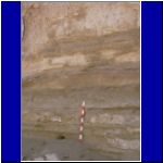
Meter stick positioned beside a fox burrow; stick shows some of the layering
of the sub-soil |
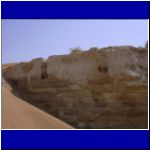
A view from the bottom of the quarry of some of the trenches cut into the
subsoil, perhaps part of an aflaj system |

Brigitte placing the meter stick in one of the trenches |

Closeup of the meter stick and the sand-filled trench |
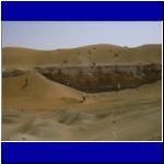
Members investigating some of the interesting features of the quarry. (Some
of these features have been destroyed by further activity in the quarry.) |


