 Leaving the active farms at Ramthah |
 Looking across the wadi to remains of 'bait khaimah' |
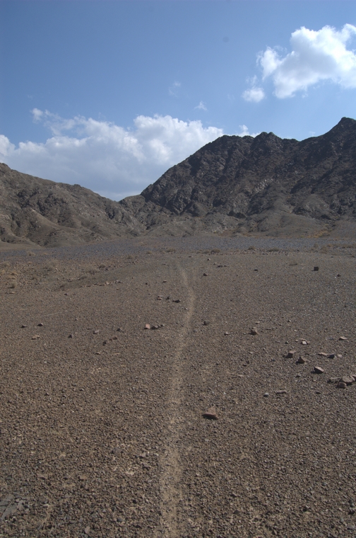
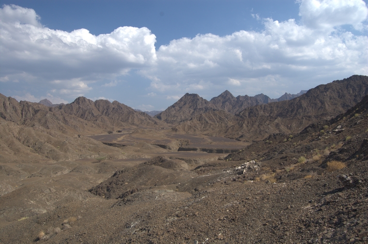
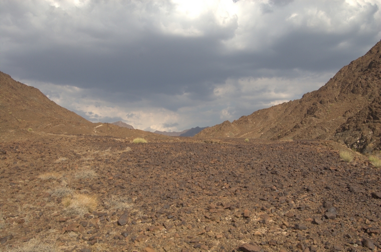
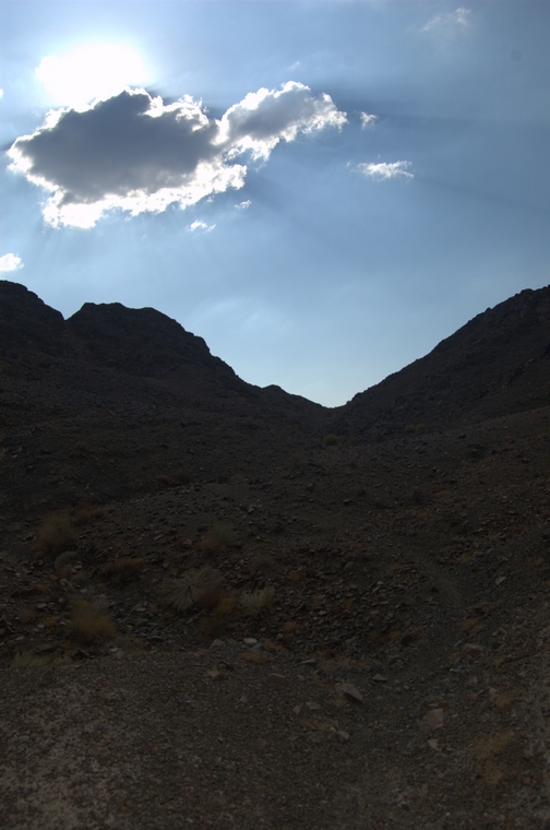
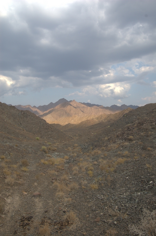
 The pass in the distance |
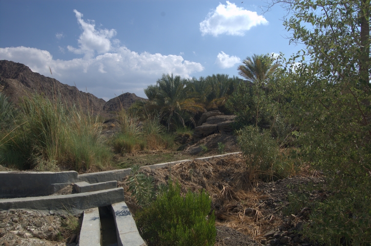
 Starting out on the falaj |
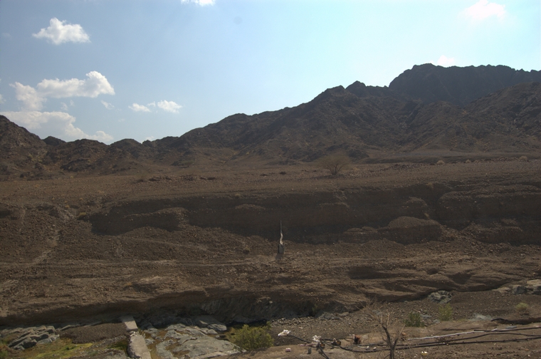
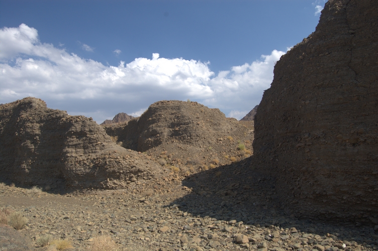
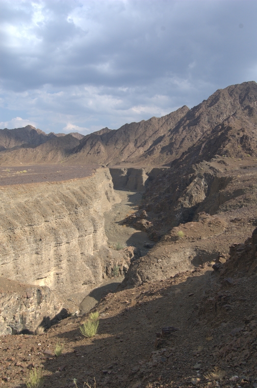
 The wadi bed, the abandoned oasis in the distance |
 The wadi bed, the abandoned oasis in the distance |
 New, cement falaj above remains of sarooj falaj |
 Detail of old sarooj falaj |
 The reservoir at the head of the falaj in the abandoned date garden |
 Track leading through the abandoned oasis |
 Dead date palms in the abandoned oasis |
 Goat track leading to the first pass |
 View back towards Ramthah |
 Approaching first pass |
 Approaching first pass |
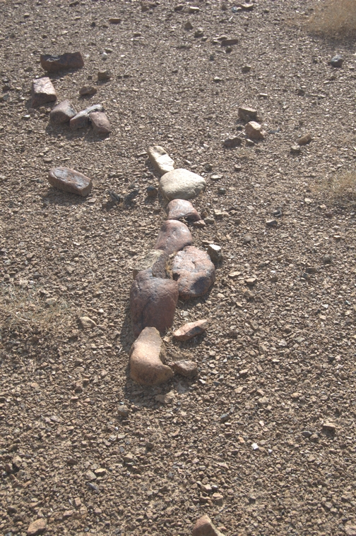
 Remains of placed stones on track |
 View from top of first pass back towards Ramthah |
 View towards Wadi Khadrah (distance) with one of the tributaries of Wadi Ramthah in foreground |
 View up from wadi bed, path visible just right of center |
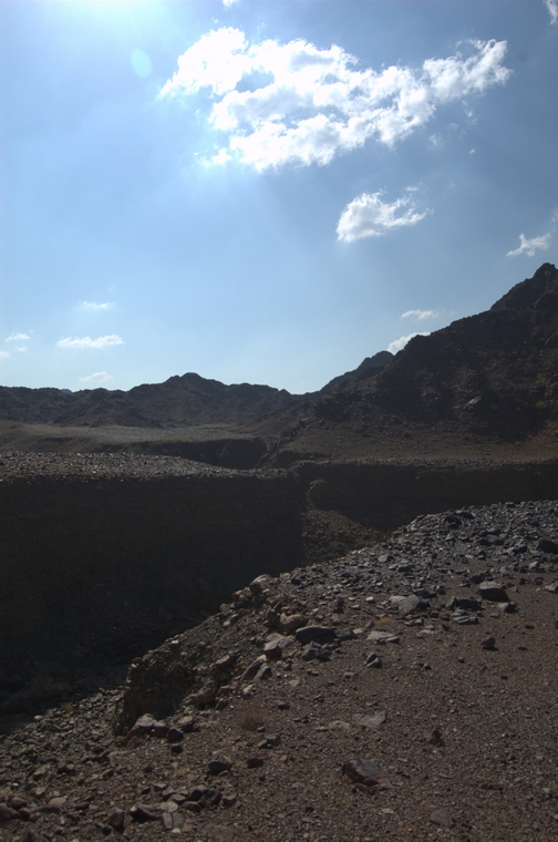
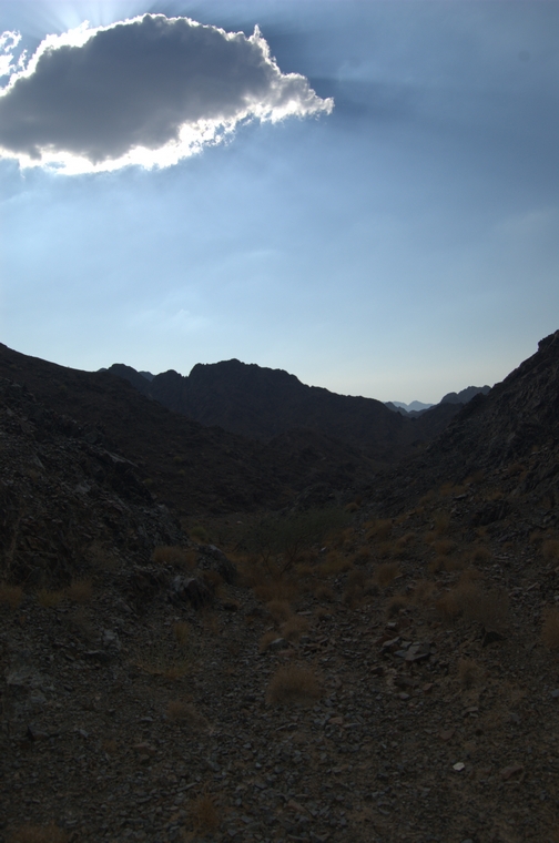
 Cut (center) is lower pass to Wadi Khadrah |
 Upper pass to Wadi Khadrah is beyond mountain on the left |
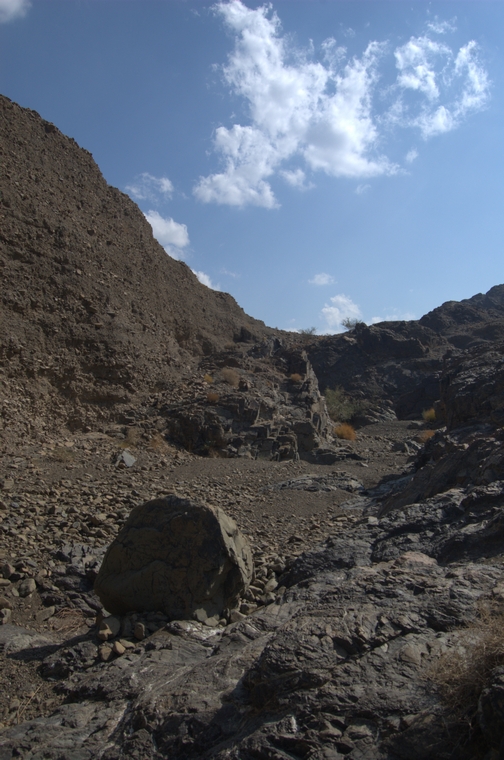 Wadi bed of this tributary of Wadi Khadrah |
 Stone 'brdige' (foreground) on one of the several routes around gorges |
 Sidr in the wadi bed |
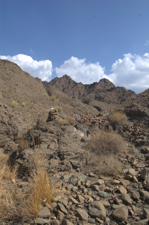 One of the stone cairns -- with white rock on top -- marking change of direction |
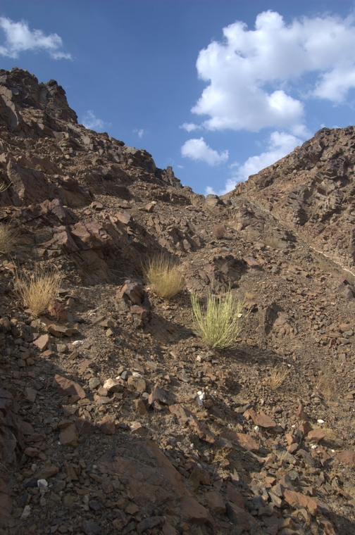
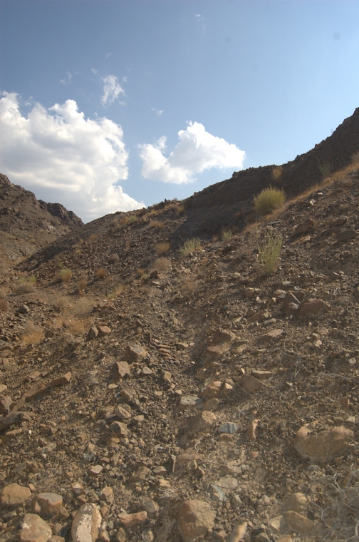 Narrow track up the slope |
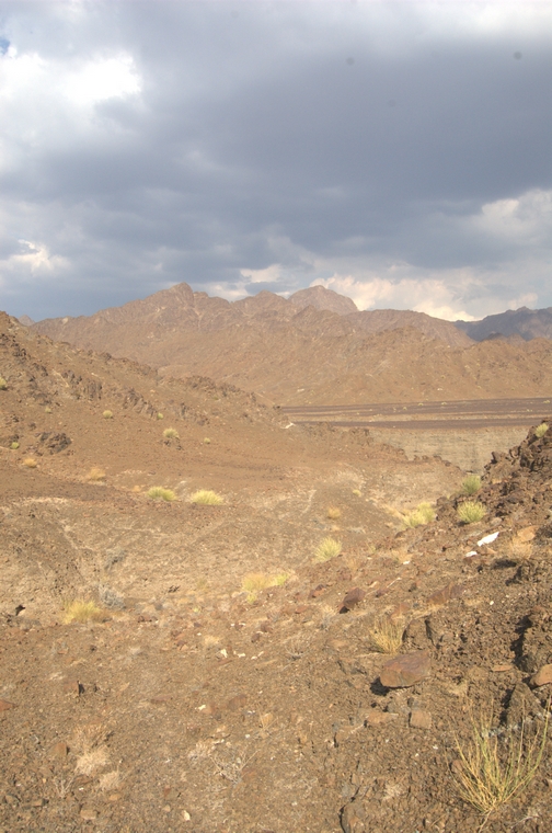
 View back |
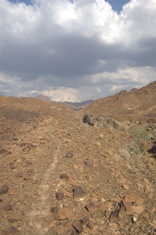
 Goat track visible |
 Small 'shelter' beside the track |
 Moringa peregrina |
 Moringa peregrina |
 Dyerophytum indicum |
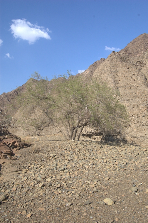
 Magnificent sidr in middle of wadi bed |
 Sidr looking downstream |
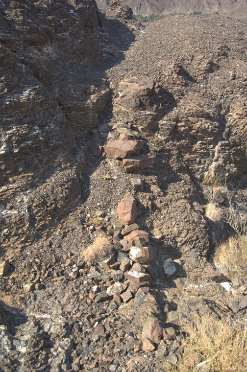
 Retaining wall for this section of track from bottom of wadi to top of conglomerate |
 Detail of retaining wall |
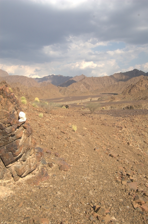
 Placed stone, function unknown |
 First glimpse of upper pass |
 Upper pass |
 Upper pass |
 Approaching upper pass |
 Several gazelle latrines as you approach the upper pass |
 Well-worn track used by goats and donkeys |
 Moringa peregrina surviving in a narrow crack in this rock near the upper pass |
 Moringa peregrina |
 Moringa peregrina |
 View from upper pass down into Wadi Khadrah |
 Approaching Wadi Khadrah |
 White stone markers used to mark trail |
 White stone marker (left) used to mark trail |
 Distance between mountrain ridges for Wadi Khadrah several times that for Wadi Ramthah |
 First glimpse down into Wadi Khadrah |
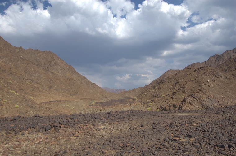
 Looking upstream Wadi Khadrah |
 Looking downstream Wadi Khadrah |
 Last ridge to cross before 'football house' |
 View downstream Wadi Khadrah |
 View downstream Wadi Khadrah |
 'Football house', 'hunting camp', 'campsite' and 'chimneys' all in the distance |
 Curious geological features: large stones with desert varnish right but fine gravel left |
 One the access points down into Wadi Khadrah (lower left) |
 Placed stones |
 Remains of a majlis, perhaps |
 Goat/donkey trail to 'football house' |
 Goat/donkey trail to 'football house' |
 Short section of wall |
 Placed stones |
 Narrow track over rought ground |
 One of the crescent structures at 'football house' |
 Largest structure at 'football house' |
 Barasti, clothing, tin cans, bottles all found at 'football house' |
 Gazelle latrine not far from crescent-shaped structures |
 One of the tributaries of Wadi Khadrah |
 Track on route back to Ramthah |
 Animals have kicked stones to the sides to create obvious track |
 Rough ground near lower pass |
 Looking back towards Wadi Khadrah |
 Approaching lower pass |
 Ramthah in distance (right) |
 Lower pass |
 Lower pass |
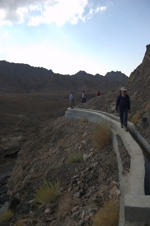 Members following the falaj |
 Leaving Ramthah, approaching abandoned oasis |
 Lower pass visible left |
 Scree slope |
 Members negotiating the scree slope |
 Members negotiating the scree slope |
 Profile of ascent to the upper pass and then descent to lower pass |
 Track when overlaid on Google Earth |