Jabeeb After the Rain 2004
Jabeeb After the Rain 2004
In the late winter of 2004, we visited Jabeeb after a rainfall to see whether the shower made much difference in uncovering some of the material that littered the area known as "the ladies' majlis". While the gazelle prints were more well defined in the wet sand, most items were hidden from view as the rain had splashed dust and dirt up to cover anything that may have been exposed.
Images from the trip appear below.
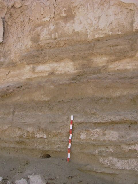
 The meter stick gives a good indication how deep the rain penetrated the dunes |
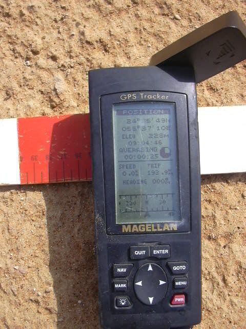
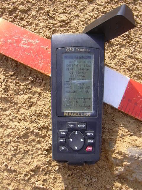 Closeup view of the GPS location of the "majlis" |
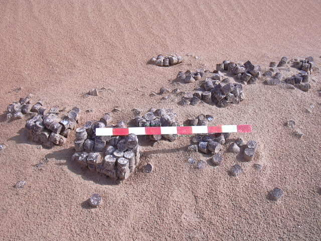 Some of the "Henderson" era debris that litters the site; these appear to be cases of small tins of tomato paste |
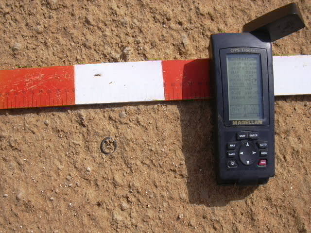
 Glass bracelet in situ with GPS coordinates |
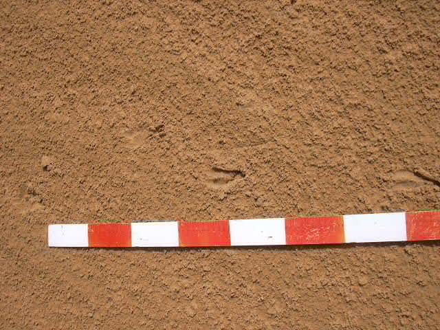 Some of the fresh gazelle tracks showing size and length of stride |
 A small copper (bronze?) ring found at the site; the inscription indicated the ring was from a city in Saudi Arabia |
 Closeup of the GPS coordinates for the ring |
 Ring alone in situ; the ring is now part of the collection at the Al Ain Museum |
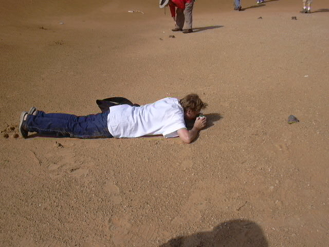 Helene getting serious about her photography! |
 Coin in situ with meter stick and GPS coordinates |
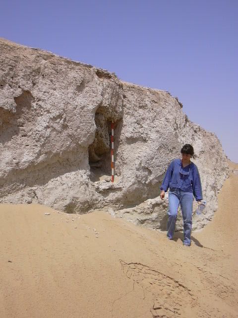
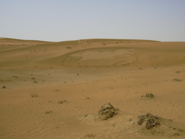 Evidence of the amount of rainfall; moisture caused part of dune to collapse under weight of rainfall |
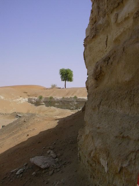 View in the quarry where there is evidence of wells and perhaps aflaj |
 Meter stick positioned beside a fox burrow; stick shows some of the layering of the sub-soil |
 A view from the bottom of the quarry of some of the trenches cut into the subsoil, perhaps part of an aflaj system |
 Brigitte placing the meter stick in one of the trenches |
 Closeup of the meter stick and the sand-filled trench |
 Members investigating some of the interesting features of the quarry. (Some of these features have been destroyed by further activity in the quarry.) |