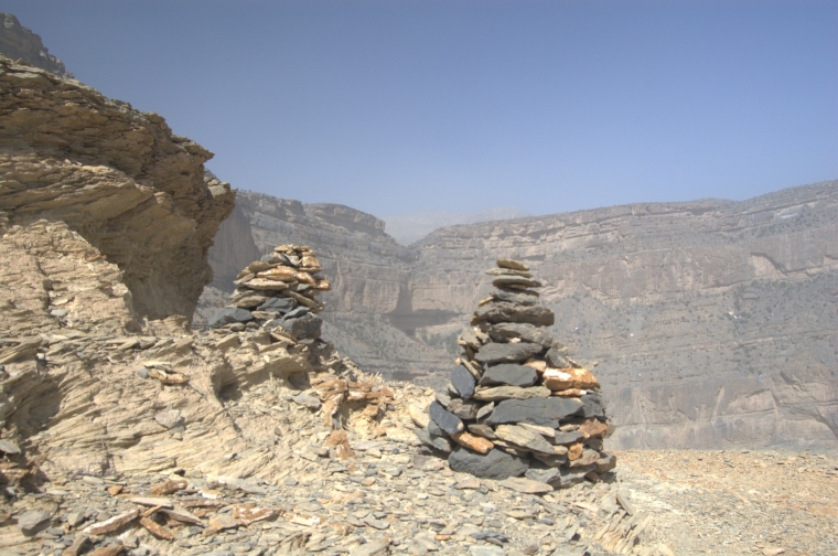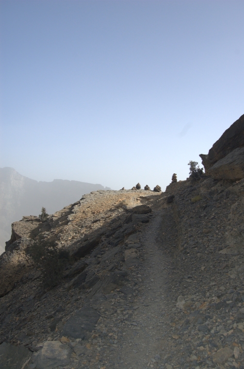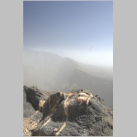
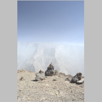
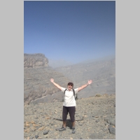
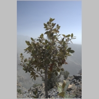
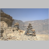
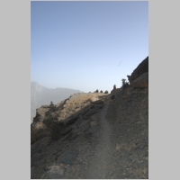
The painted flag at the head
of the trail
|
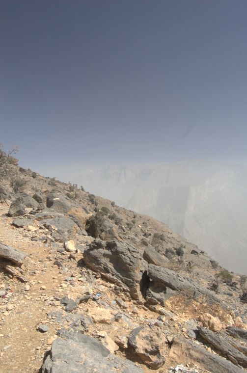
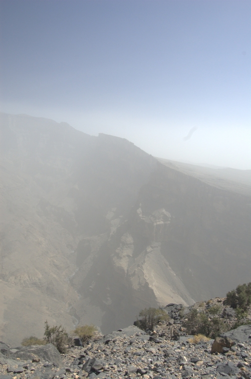
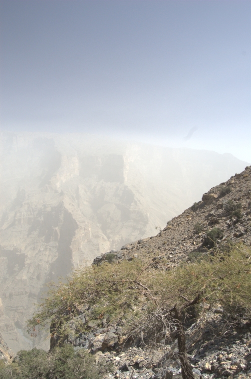
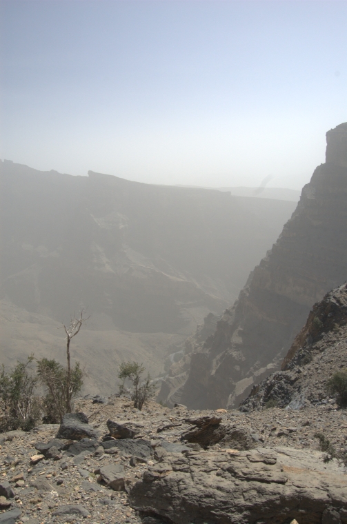
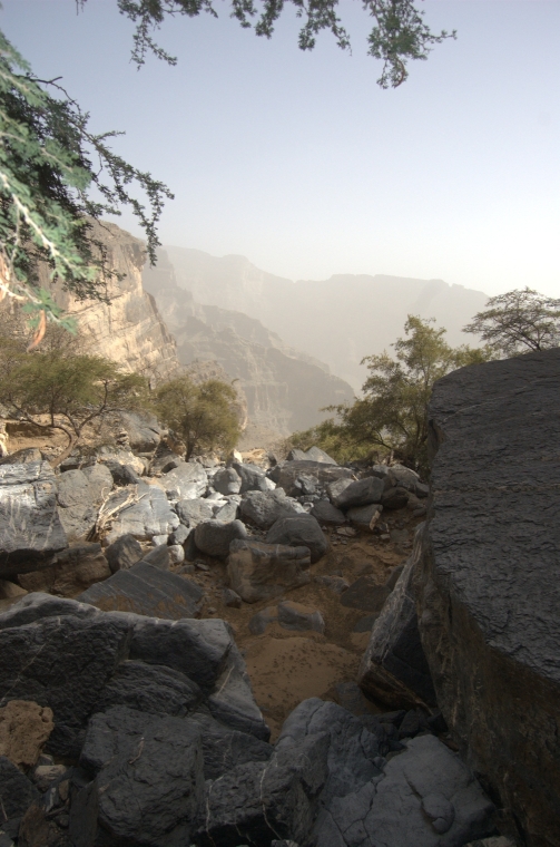
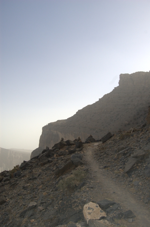
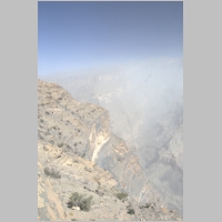
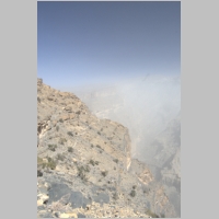
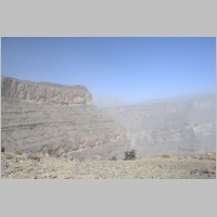
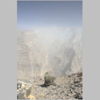
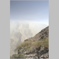
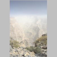
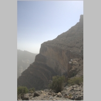
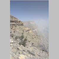
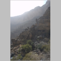
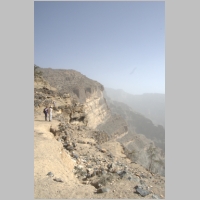
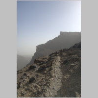
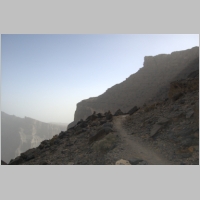
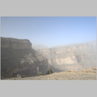
The opposite ridge was
concealed in the haze
|
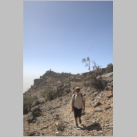
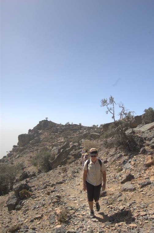
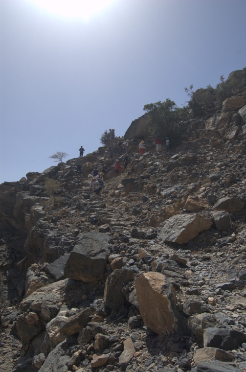
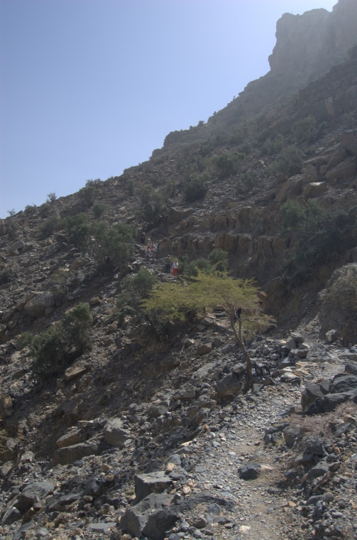
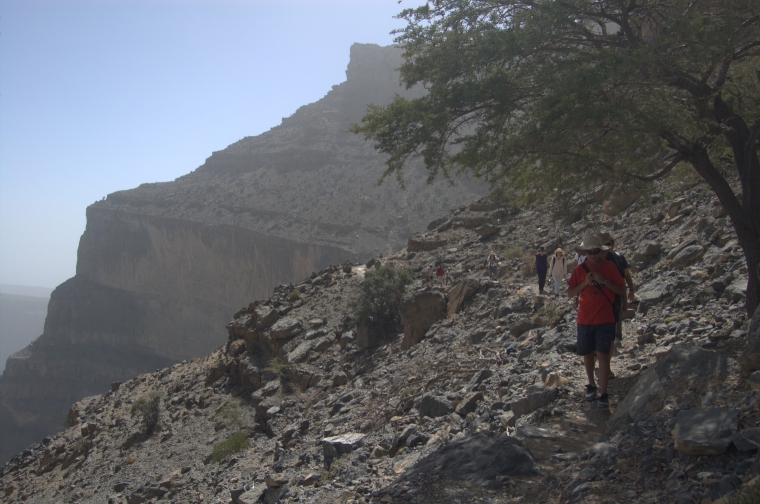
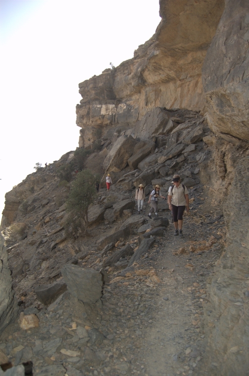
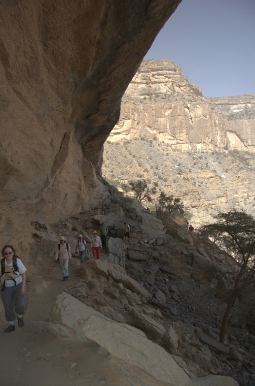
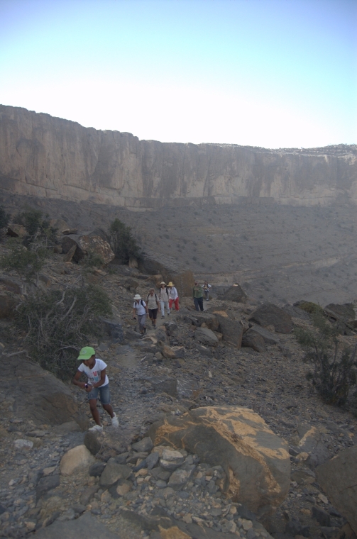
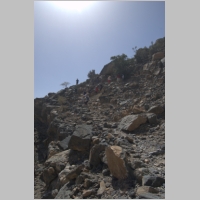
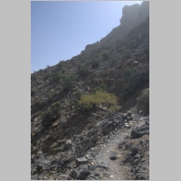
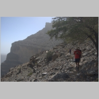
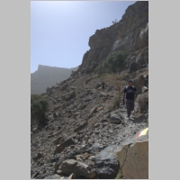
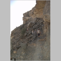
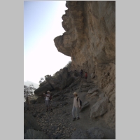
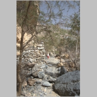
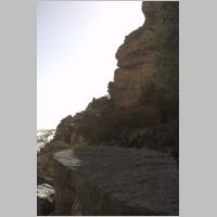
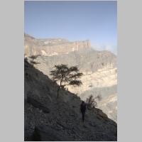
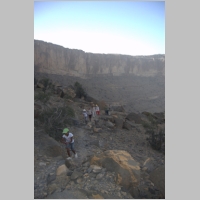
Starting out
|
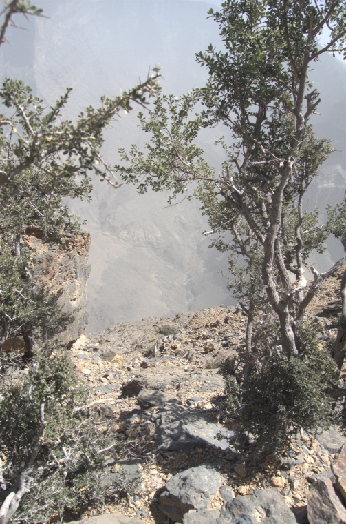
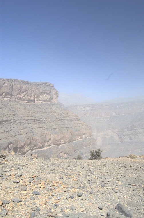
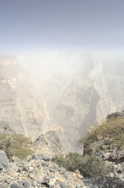
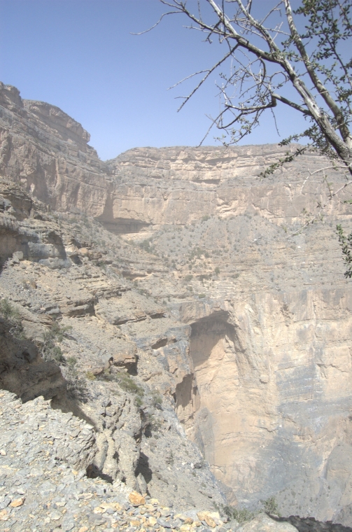
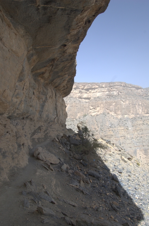
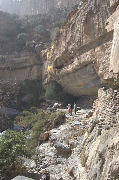
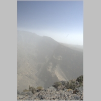
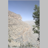
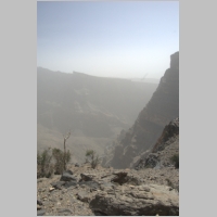
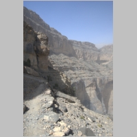
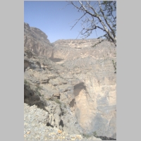
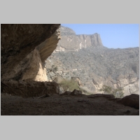
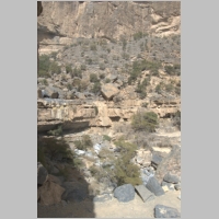
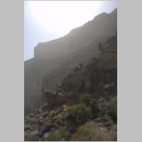
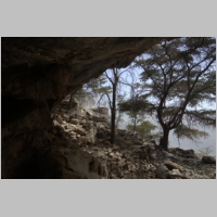
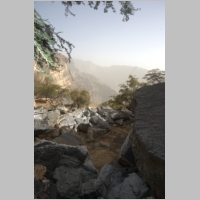
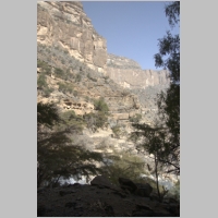
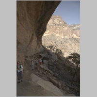
The view into the gorge
|
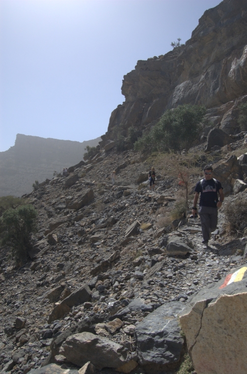
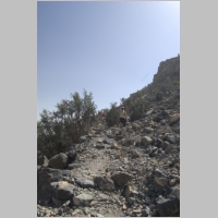
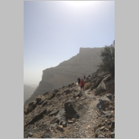
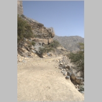
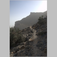
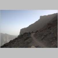
It is difficult to see the
trail ahead
|
The trail is the faint white
line (left)
|
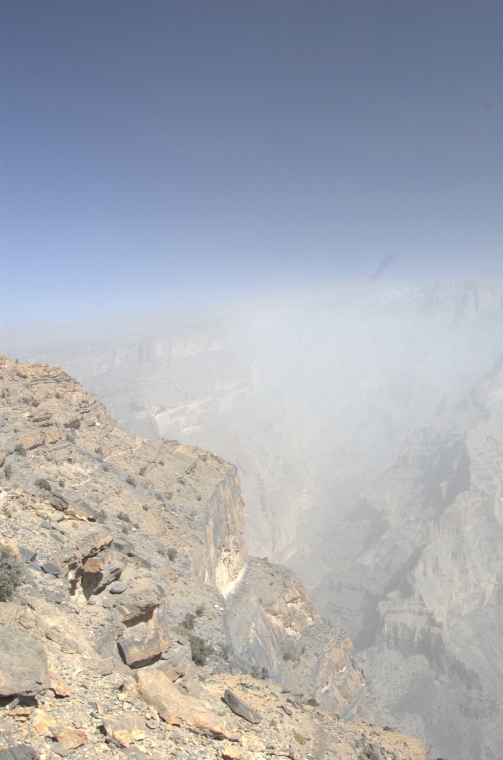
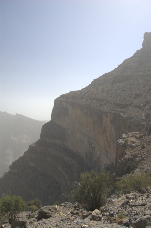
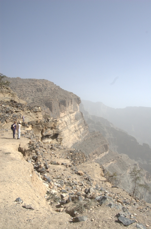
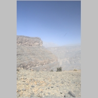
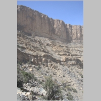
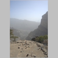
The drop to Wadi Ghul
is about 1500m
|
The first part of the trail
descends about 40m
|
There are several hiking trails
developed on the
mountain
|
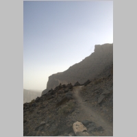
Looking ahead to the
second corner
|
About one-third of the
way to the village
|
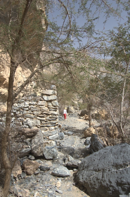
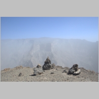
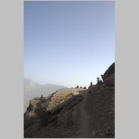
Markers at the first corner
|
The temperature was
ideal for hiking
|
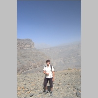
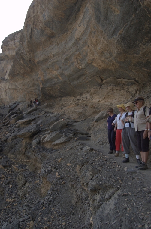
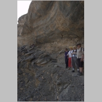
One of our hikers . . .
|
. . . enjoying the day!
|
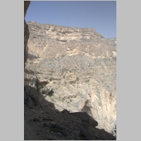
View across the gorge
|
The trail is well marked
|
Looking up to the
ridge above
|
The second leg of the trail
|
Steps and marker
|
Looking back to the
first corner
|
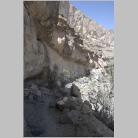
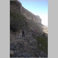
One section where the
slope drops off sharply
|
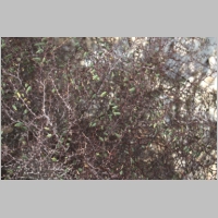
Goats keep the sparse
vegetation trimmed
|
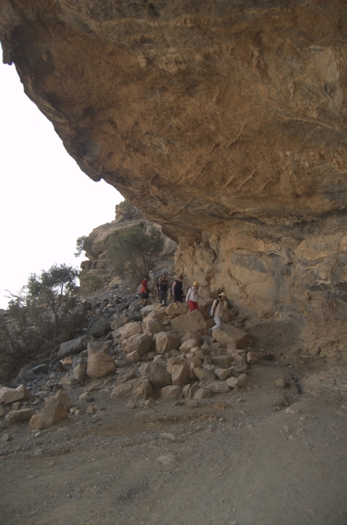
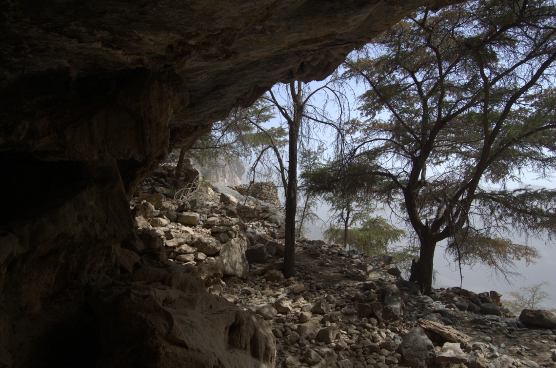
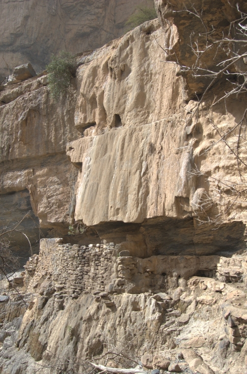
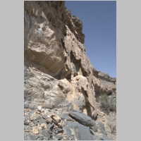
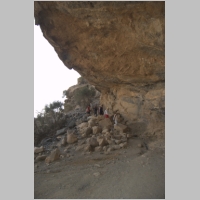
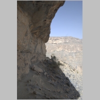
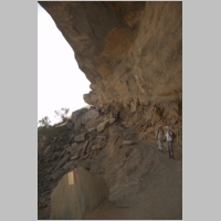
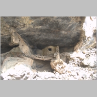
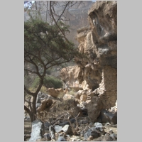
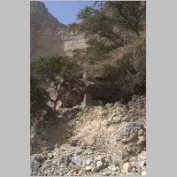
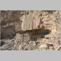
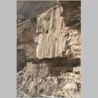
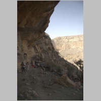
One of the sections
of over-hanging rock
|
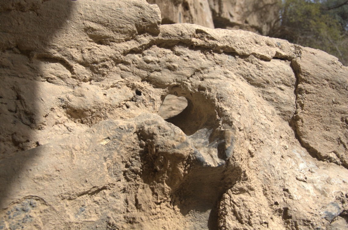
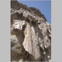
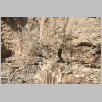
Sheets of tufa material
|
Tufa built up over many years
|
The shoulder where the
first corner is located
|
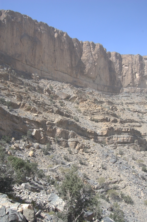
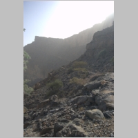
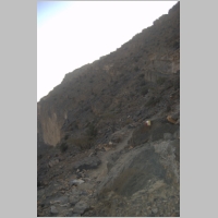
The typical slope
|
The group making their way
to the second corner
|
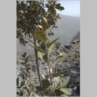
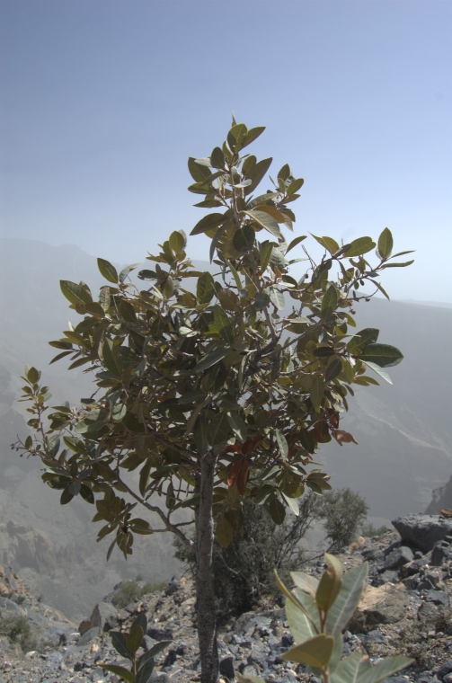
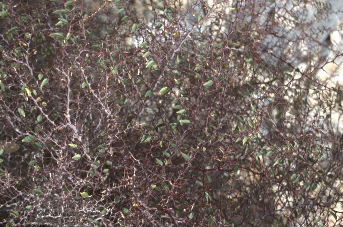
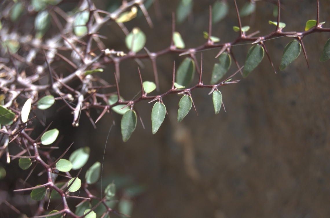
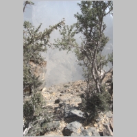
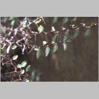
Detail of some of the
vegetation
|
Plants appeared healthy
along the trail
|
Second corner just ahead
|
Looking back on the trail
|
View out towards Nizwa
|
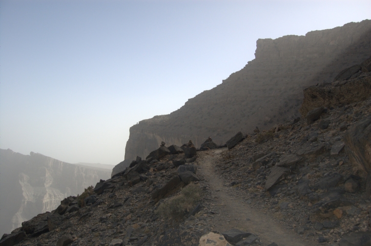
Markers at the second
corner
|
The village is not yet in view
|
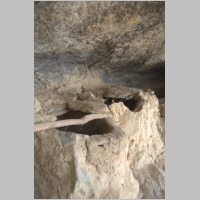
Descent into another
section of overhanging
rock
|
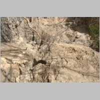
Stalagmites and stalactites
once existed here
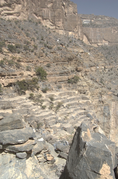
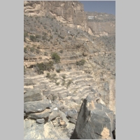
|

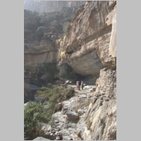
Terraces visible in center
of the photo
|
The houses of the village
are still difficult to
spot
|
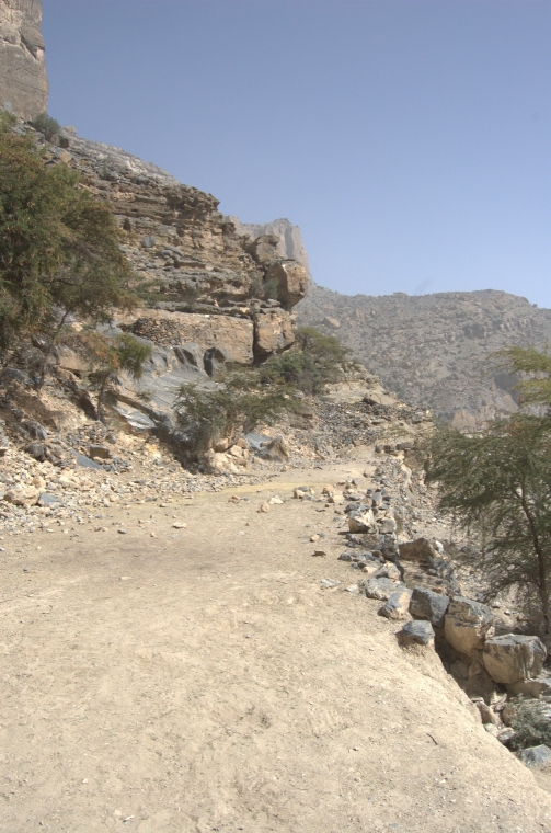
The trail ahead
|
Pausing to enjoy the view
|
Terraces in the center
of the photo
|
Members took hundreds
of photographs
|
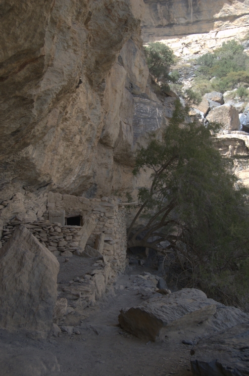
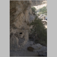
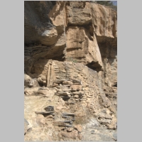
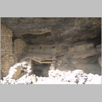
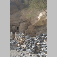
Arriving at the village
|
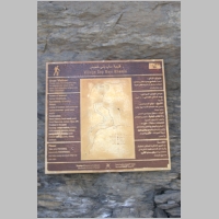
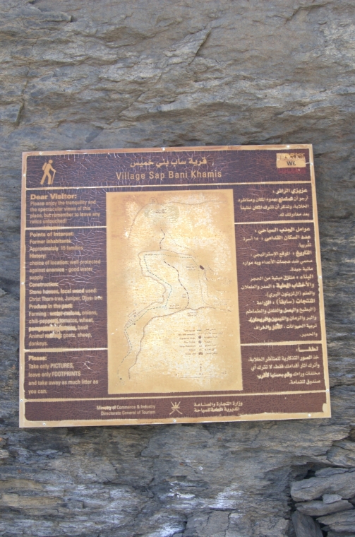
Plaque for Sap Bani Khamis
|
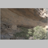
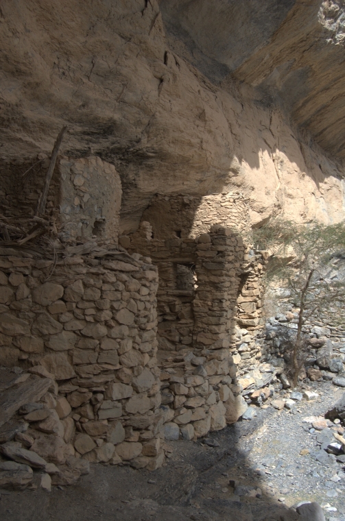
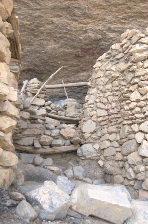
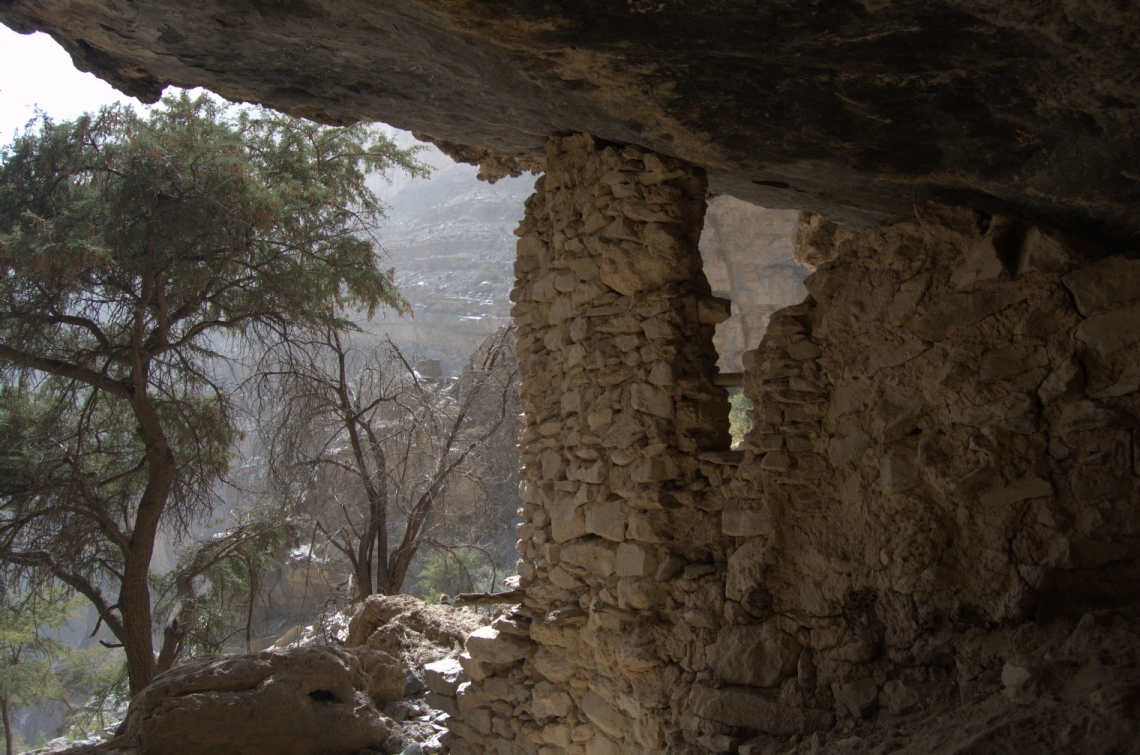
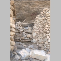
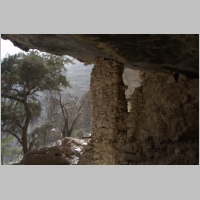
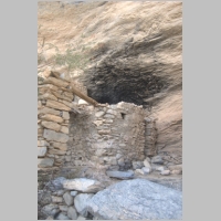
One of the houses
|
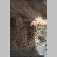
Several houses
|
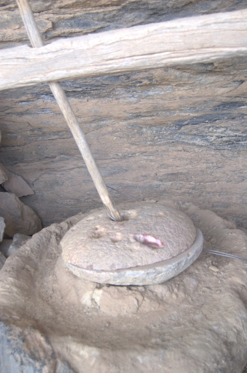
Steps leading to the
grinding stone
|
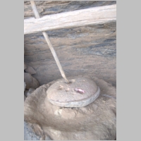
Grinding stone secured
with steel rope
|
View from the houses
|
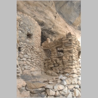
Houses with soot overhead
|
Paths, steps and terraces
|
One of the plants in the village
|
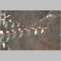
Detail
|
Detail
|
View of the terraces from
the houses
|
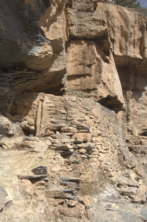
Ledge above the terraces
where pool is located
|
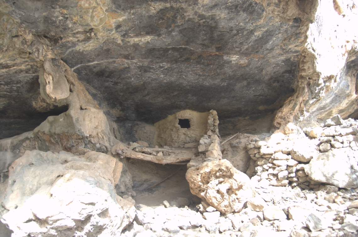
House with door
leaning against opening
|
View from aflaj
towards the houses
|
The reservoir for the
falaj system
|
The overflow hole of
the reservoir
|
Hikers near the reservoir
|
View back along the trail
from the terraces
|
Ridges marking the first and
second corners of
the trail
|
Terracing
|
Looking down the gorge
from the terraces
|
Storage bins above the
terraces
|
Severn storage bins once
held pomegranates
|
Detail of storage bins
|
View from the bins
down over the terraces
|
The purpose of the stone
column is a mystery
|
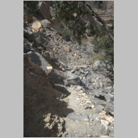
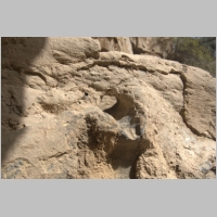
Tufa material
|
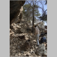
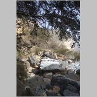
Two goats were curious
about our lunches
|
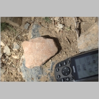
Little pottery is found
|
Members on the terraces
enjoying the view
|
View from terraces to
area of storage bins
|
One of the falaj channels
|
Falaj channels
|
Tufa draping over the reservoir
|
Water once dripped from the
tufa into the
reservoir
|
Cool shade before
the return trip
|
About 15 families once
lived in the community
|
The village was probably
abandoned about 35
years ago
|
The families kept donkeys
and goats
|
Soot from an old
cooking fire
|
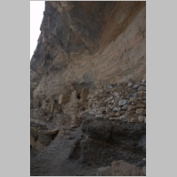
Houses under the overhang
|
Members starting the
return trip
|
The slope is quite steep
in sections
|
The slow ascent back
to the trail head
|
Returning to the
second corner
|
The well-defined trail along
this section
|
The gradual climb towards
the first corner
|
Leaving the second corner
|
Well-defined trail
|
The first corner in the
center of the photo
|
The hike took about two
hours each way
|
Several other groups were
on the trail on the
same day
|
The group nearing
the end of the trip
|
Climbing up the last,
steep section of the
trail
|
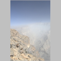
View up the gorge
|
Completing the Cliff
Walk on Jebel Shams
|